Modern technology allows us to do so many things that weren't possible twenty, even ten years ago.
Long-distance video-calls, music of every kind, films, television, and of course, bragging about how many steps you did in a day. Of course, the ramifications of said bragging for some is that it's showing up where your secret CIA base is. No, really.
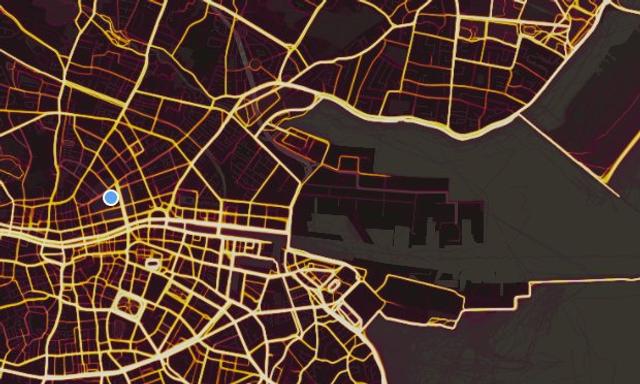
A report by the Washington Post has revealed that a fitness-tracking app - Strava - is showing up the location of military bases, including secret CIA camps, in all sorts of places around the world. The freely-available heatmap, which can be accessed here, can zoom into any part of the world and detail the cycling or jogging routes of its users.
Strava released their global heatmap. 13 trillion GPS points from their users (turning off data sharing is an option). https://t.co/hA6jcxfBQI … It looks very pretty, but not amazing for Op-Sec. US Bases are clearly identifiable and mappable pic.twitter.com/rBgGnOzasq
— Nathan Ruser (@Nrg8000) January 27, 2018
While the original intent was just to show off how many people use the app and wristband, it's now revealed the outline of military bases in the likes of Afghanistan, Somalia, Guantanamo Bay and many other places. Amazingly, it wasn't initially WaPo who found out about the thing - but an Aussie student who just happened to check the heatmap on a whim to see if it showed up in unusual places.
The student, Nathan Ruser, told WaPo that he checked the map in warzones like Syria and "it sort of lit up like a Christmas tree." It isn't just US bases affected by this, either. The BBC reported that British military bases in the likes of Malvinas / Falklands lit up on the heatmap, and even a missile command site in Taiwan was highlighted.
In a statement released last night, Strava announced that they are "committed to working with military and government officials to address sensitive areas that might appear," whilst both the US and British military issued statements saying that the situation is being dealt with.
Via Twitter / WaPo


